NORTH GEORGIA PROFESSIONAL DRONE SERVICES
Get a Free Quote in 24 hours!

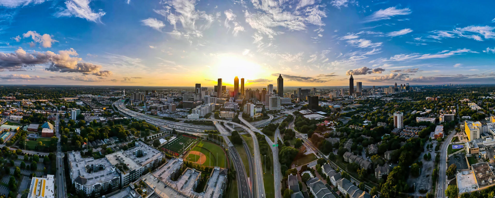
What We Do
Sky360° is Georgia’s leading Drone Service provider, delivering professional aerial imagery and detailed data collection. We provide a true start to finish solution including flight planning, aerial imagery, data capture with advanced processing and analytics enabling our clients to capture maximum value.
Whether you require highly detailed aerial photography for real estate or land surveying, actionable data or 3D mapping of agriculture, facilities or infrastructure, we have highly experienced drone pilots ready to meet your needs.
We offer a full suite of aerial photography, videography and imaging as well as full-service video production, editing, data post-processing and support services. In addition to filming from above, we also support our aerial imaging with expert ground-based photography and videography as well.
We specialize in…
• Residential and Commercial Real Estate Photography and Video
• Orthomosaics and Accurate, High-Resolution 3D Mapping
• Construction Site Progress Monitoring and Documentation Imagery
• Utility / Facility Inspection Services
• Multispectral Infrared Imaging for Agricultural Management
• Entertainment and Special Events
Please fill out this Quote Request and a member of our team will be in touch in less than 24 hrs.